When working with Maps, a scale is shown at the bottom left corner of the visual (purple highlight below). The scale represents the ratio between the distance on the map and the corresponding distance on the ground. The scale is dynamically updated as you zoom in and out of the map. This scale can be shown or hidden as needed.
Scale Controls on a Map
The Scale Control legend is shown on the map at the bottom-left (orange highlight). Note: The related Zoom Control may also be shown at the top-right (purple highlight).
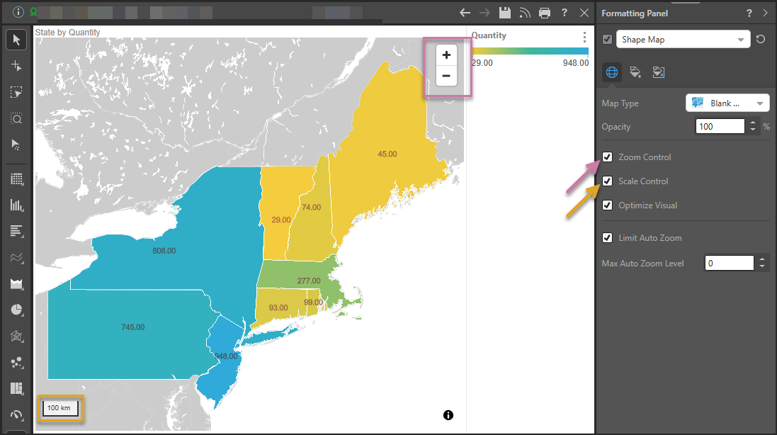
Enabling Scale Control
Component Ribbon
Open the Component ribbon and toggle the Scale Control button to show or hide the scale.

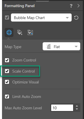
Formatting Panel
The scale control can also be enabled or disabled from the Settings tab of the Formatting panel:
Related information
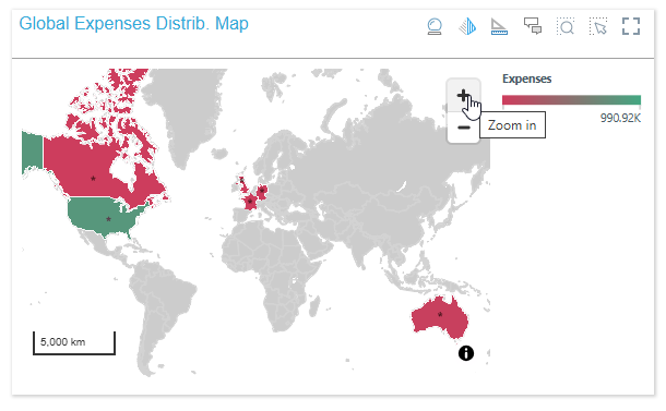
Scale Controls at Present Runtime
Your scale control is also shown at runtime when you open a presentation containing your map visual. For example: